UN
5 Bodhyfryd
£ 93,000
Description
We don't have a Description for this property.
- Bedrooms
- 2
- Bathrooms
- 0
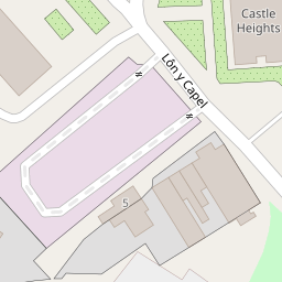
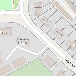

Leaflet © OpenStreetMap contributors
The heatmap indicates the level of crime in the area. The color of the heatmap indicates the crime severity and recency.
Metrics Year-on-Year
- Average area value
- 312,744.00 £Increased by 45.65 %
- Average area rental value
- 1,124.00 £/moIncreased by 8.81 %
- Est rental Yield
- 4.31 %Decreased by 25.30 %
- Crime Rate
- 25.00 %Unchanged by 0.00 %
from 214,716.00 £
from 1,033.00 £/mo
from 5.77 %
from 25.00 %
Nearby Schools
| Name | Type | Ofsted | Distance |
|---|---|---|---|
| Gwynedd C.P. School | Welsh Establishment | 0.31 KM | |
| Flint High School | Welsh Establishment | 0.90 KM | |
| St Mary'S R.C. Primary School | Welsh Establishment | 0.95 KM | |
| Ysgol Gymraeg Croes Atti | Welsh Establishment | 1.08 KM | |
| St Richard Gwyn Roman Catholic High School | Welsh Establishment | 1.14 KM |
Images
Nearby Streets
| Name | Average Price | Average Sqft | Distance |
|---|---|---|---|
| Sydney Street | £ 0 | 0 | 0.00 KM |
| Swan Street | £ 0 | 0 | 0.00 KM |
| Holywell Street | £ 0 | 0 | 0.00 KM |
| Thomas Street | £ 0 | 0 | 0.00 KM |
| Trelawny Avenue | £ 0 | 0 | 0.00 KM |
Nearby Transport
| Name | NLC | TLC | Distance |
|---|---|---|---|
| Flint | 2513 | FLN | 0.40 KM |
| Neston | 2139 | NES | 9.45 KM |
Nearby Listings
| Address | Price | Type | Score | Distance |
|---|---|---|---|---|
| Bodhyfryd, Flint, CH6 | £ 250,000 | BUY | Unknown | 0.00 KM |
| Church Street, Flint, Flintshire, CH6 | £ 395,000 | BUY | Unknown | 0.23 KM |
| Flint | £ 169,950 | BUY | 6 / 10 | 0.27 KM |
| Church Street, Flint | £ 120,000 | BUY | Unknown | 0.32 KM |
| Church Street, Flint | £ 120,000 | BUY | 5 / 10 | 0.34 KM |
Nearby Properties
| Address | Price | Distance |
|---|---|---|
| 5 Bodhyfryd | £ 93,000 | 0.00 KM |
| 2 St Catherines Close | £ 144,950 | 0.22 KM |
| 11 St Catherines Close | £ 180,000 | 0.22 KM |
| 34 Church Street | £ 125,000 | 0.22 KM |
| 3 Coleshill Street | £ 104,000 | 0.24 KM |